


Image & Video Credits
Mystery Science respects the intellectual property rights of the owners of visual assets. We make every effort to use images and videos under appropriate licenses from the owner or by reaching out to the owner to get explicit permission. If you are the owner of a visual and believe we are using it without permission, please contact us—we will reply promptly and make things right.
Other
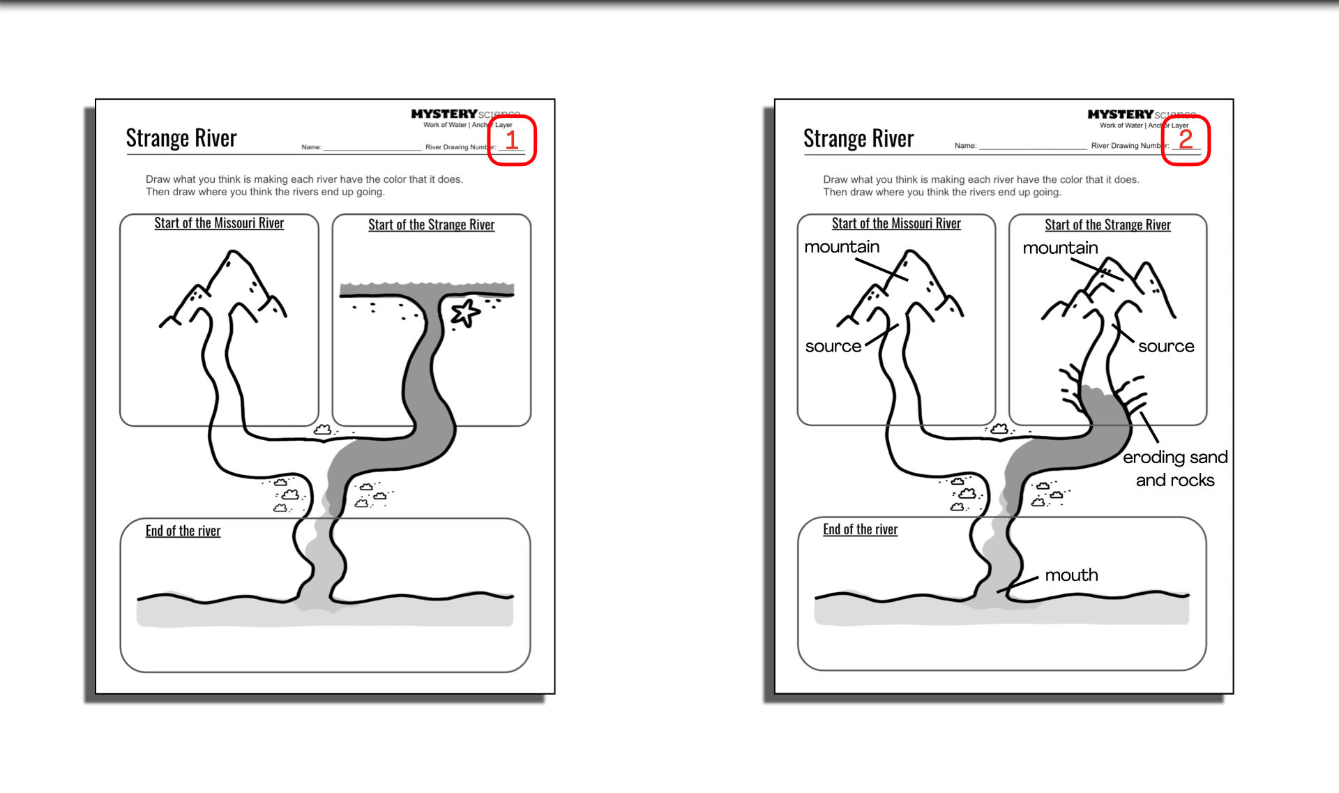
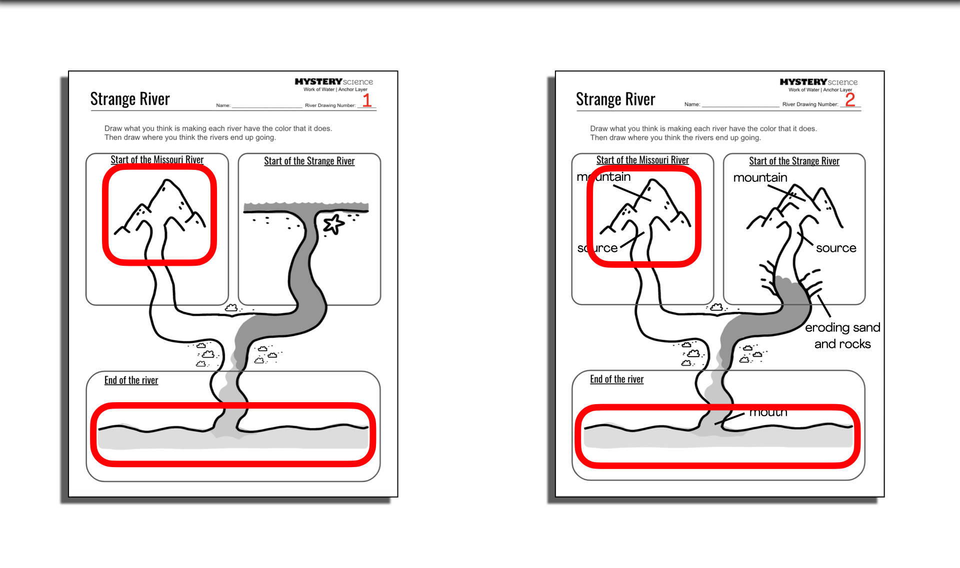
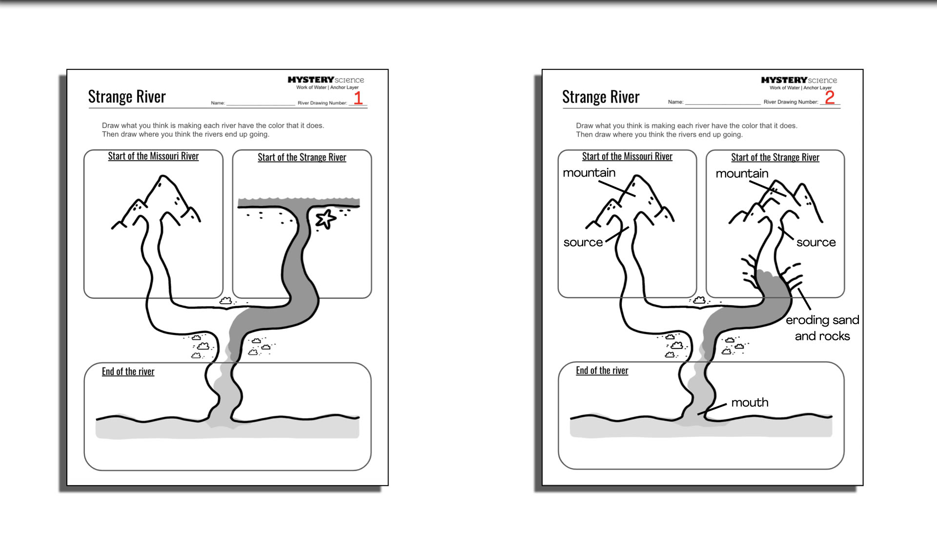
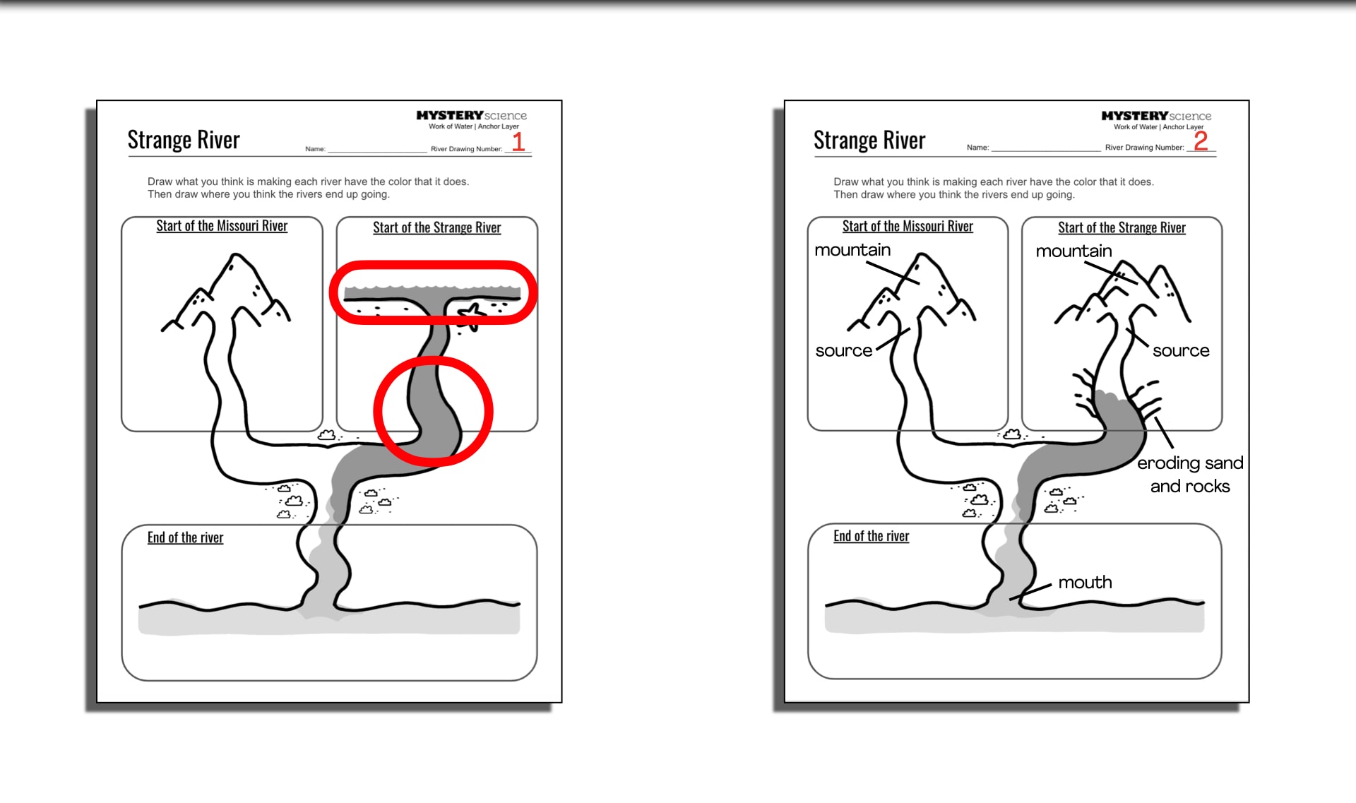
All illustrations by
Alex Kalomeris
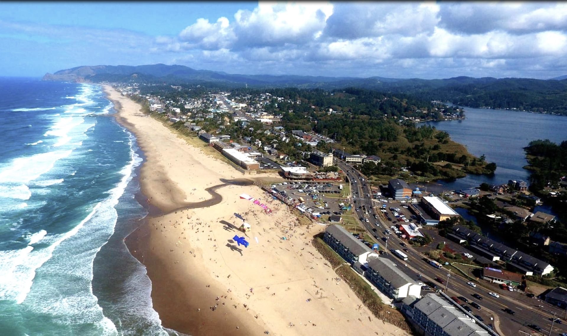
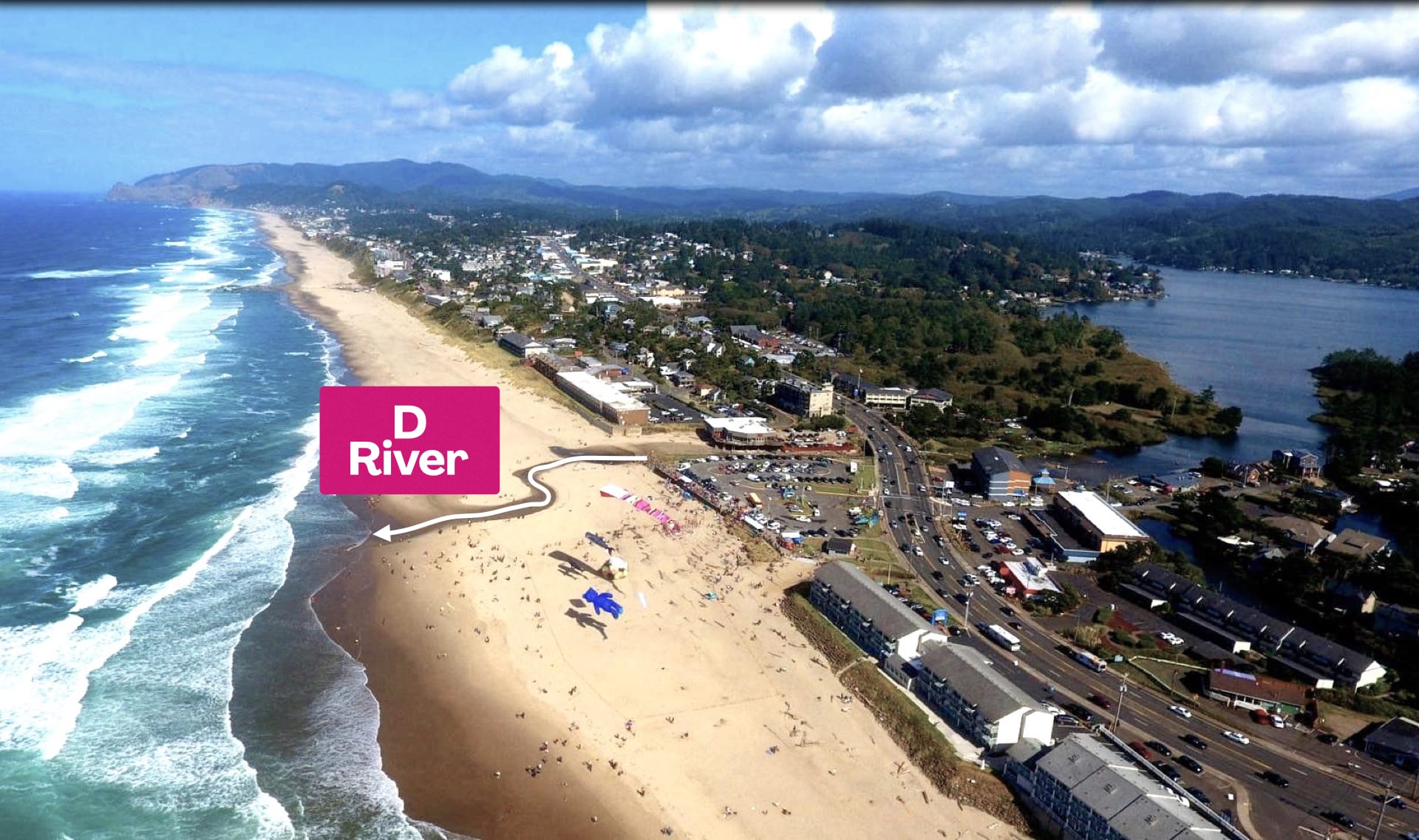
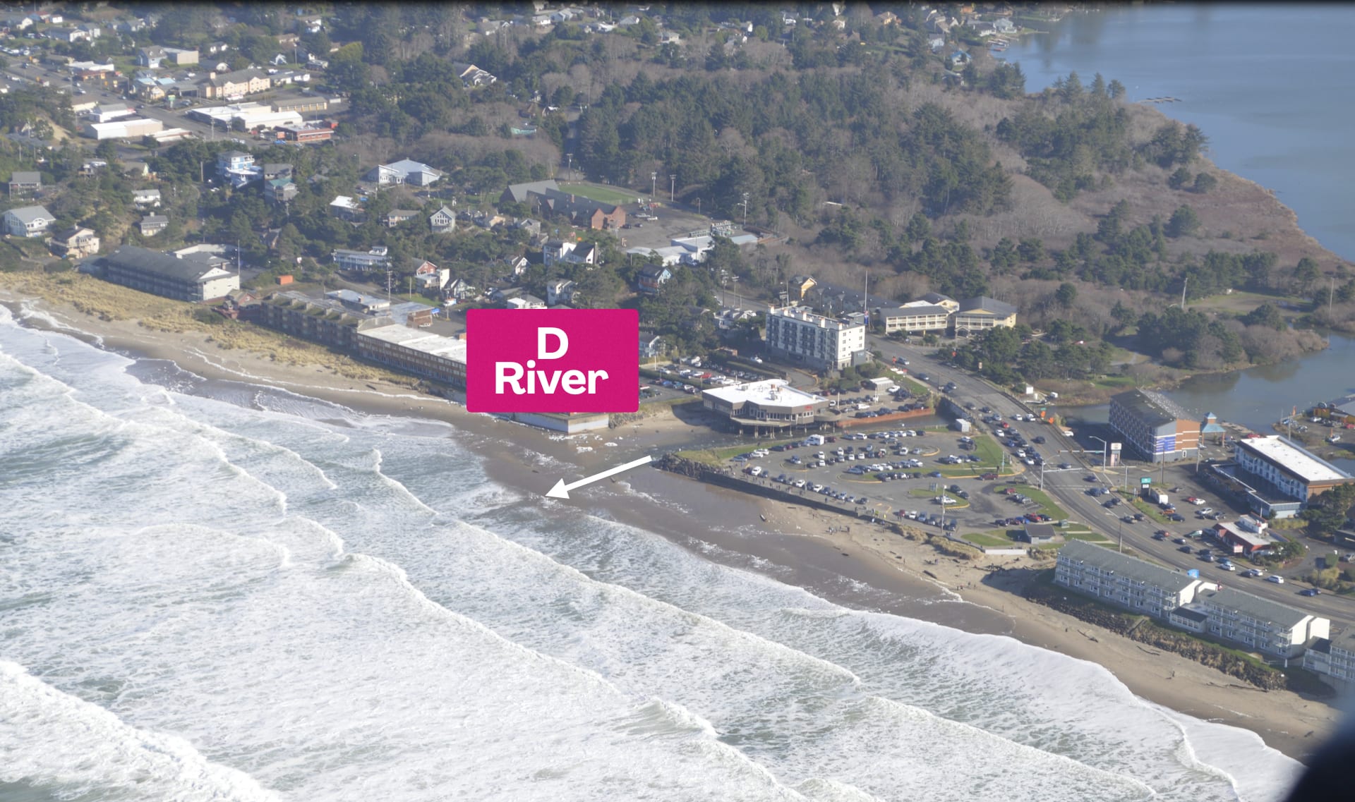
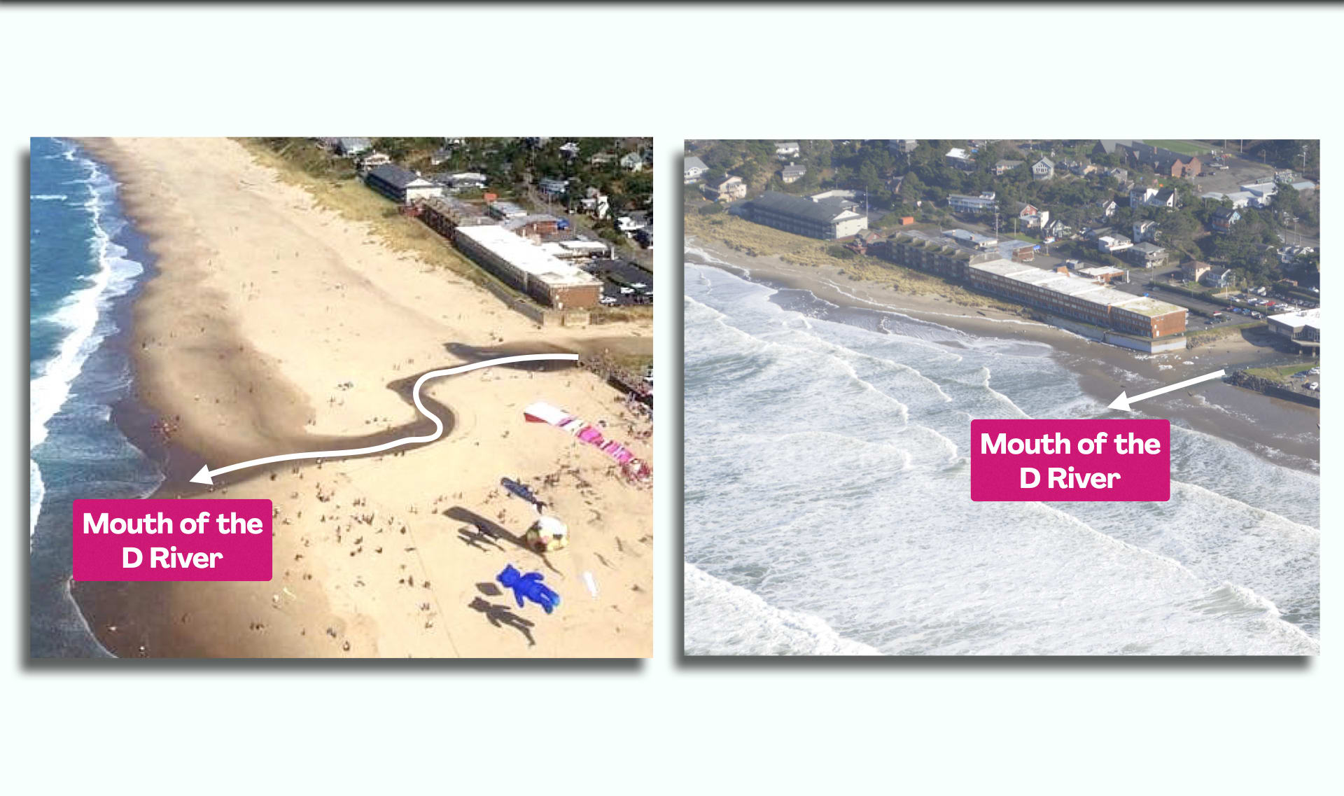
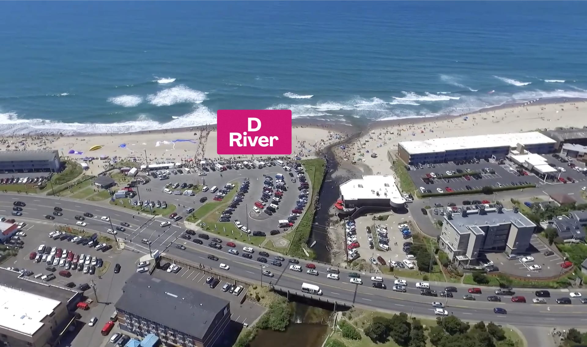
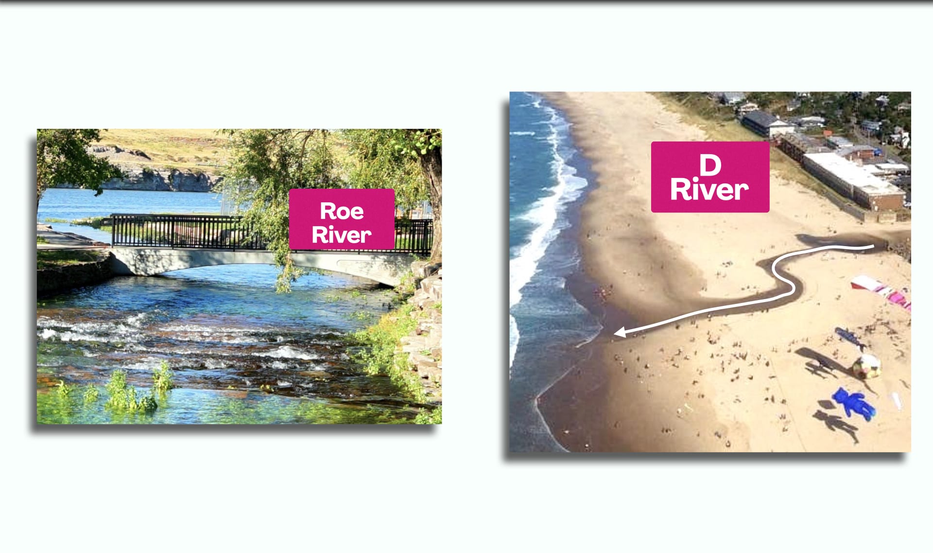
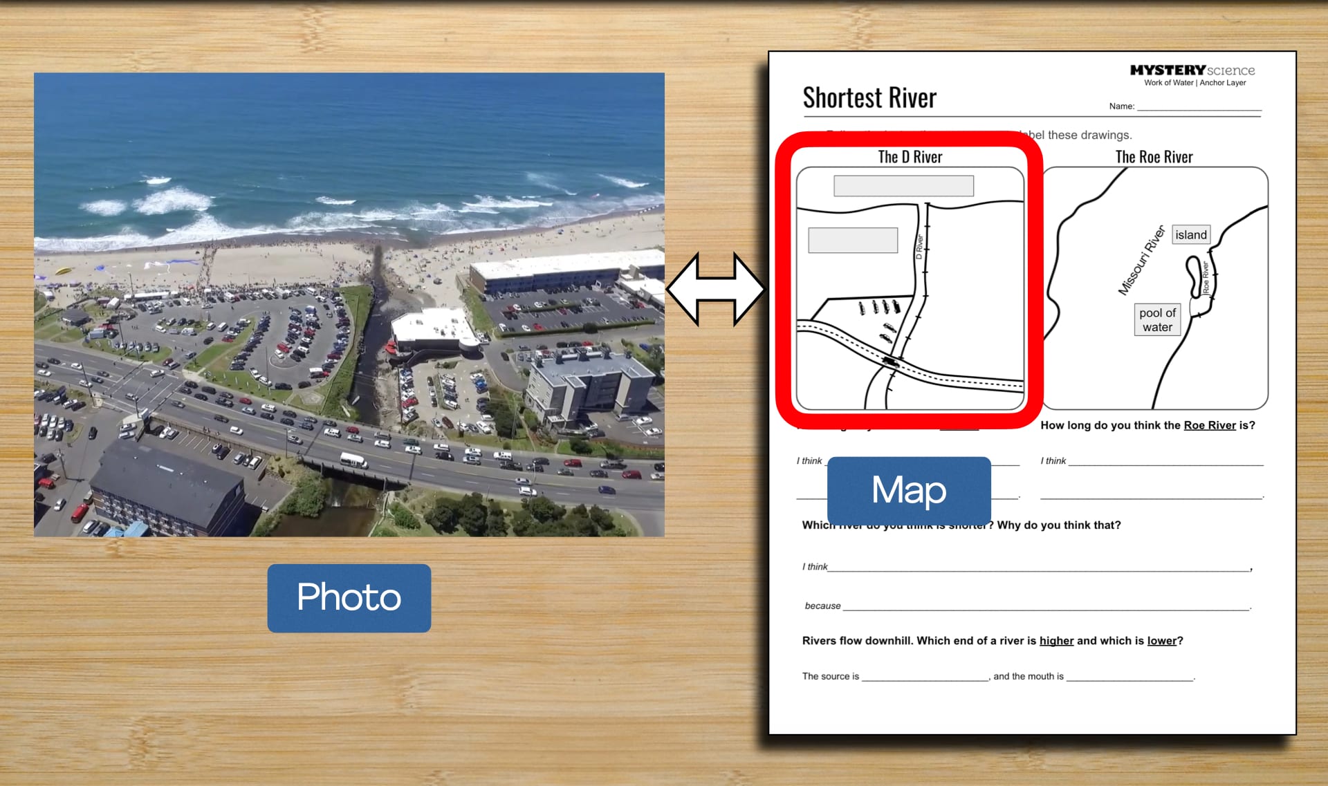
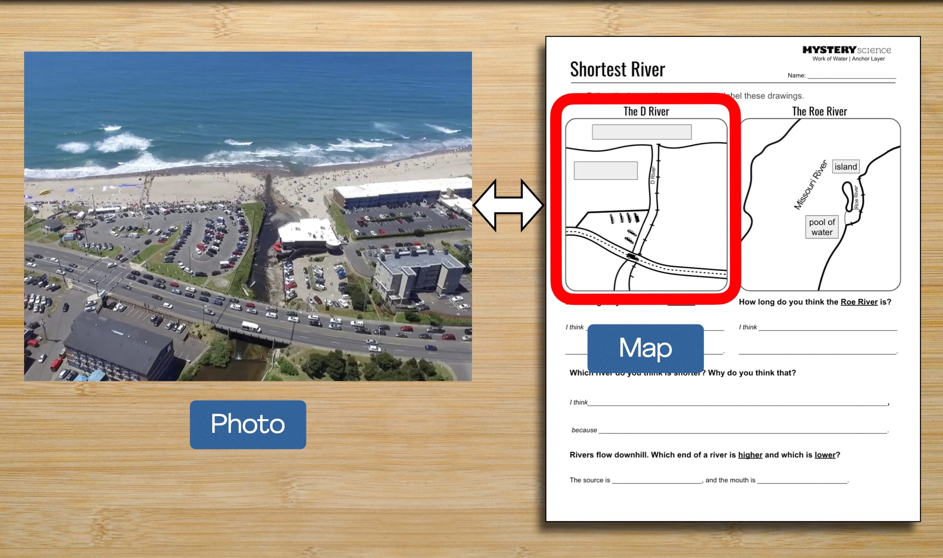
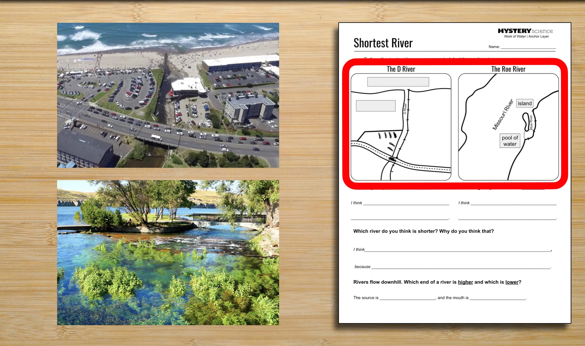
D River Aerial by
Frank Cavezza / News Guard
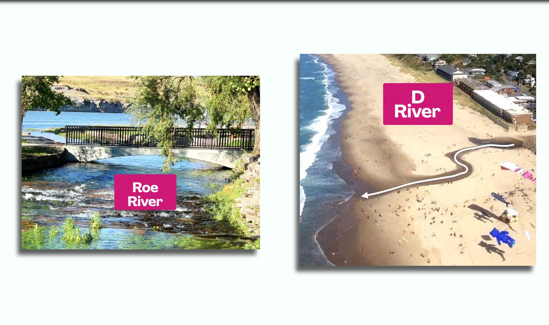
D River High Tide Aerial by
Surfrider Foundation
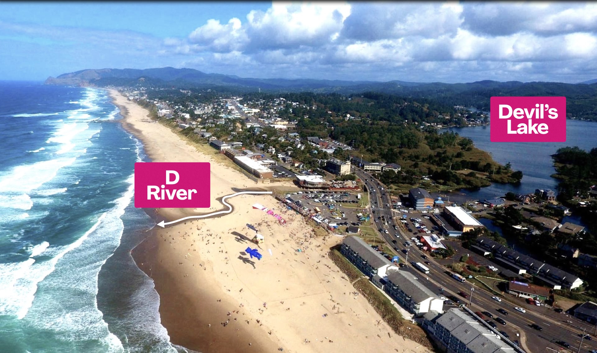
Devil's Lake Aerial by
my WheelEstate and a Drone
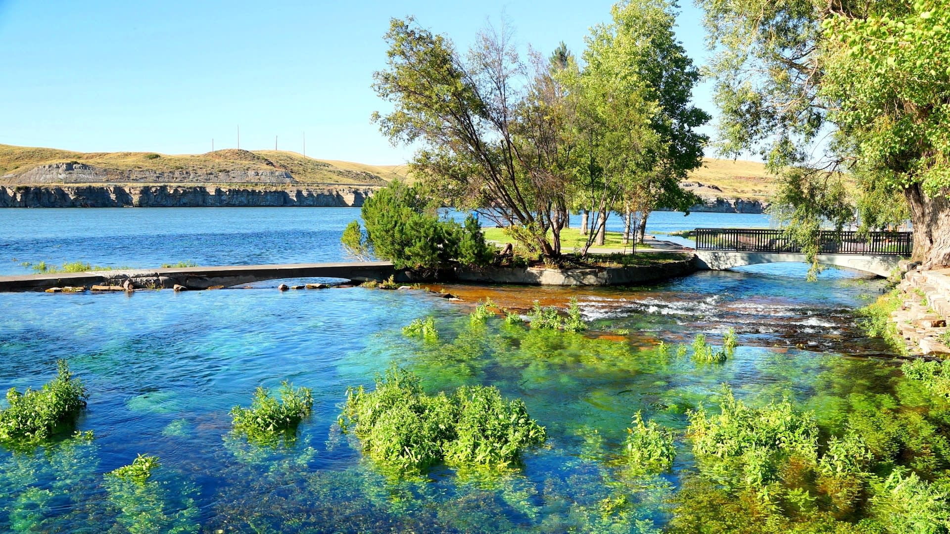
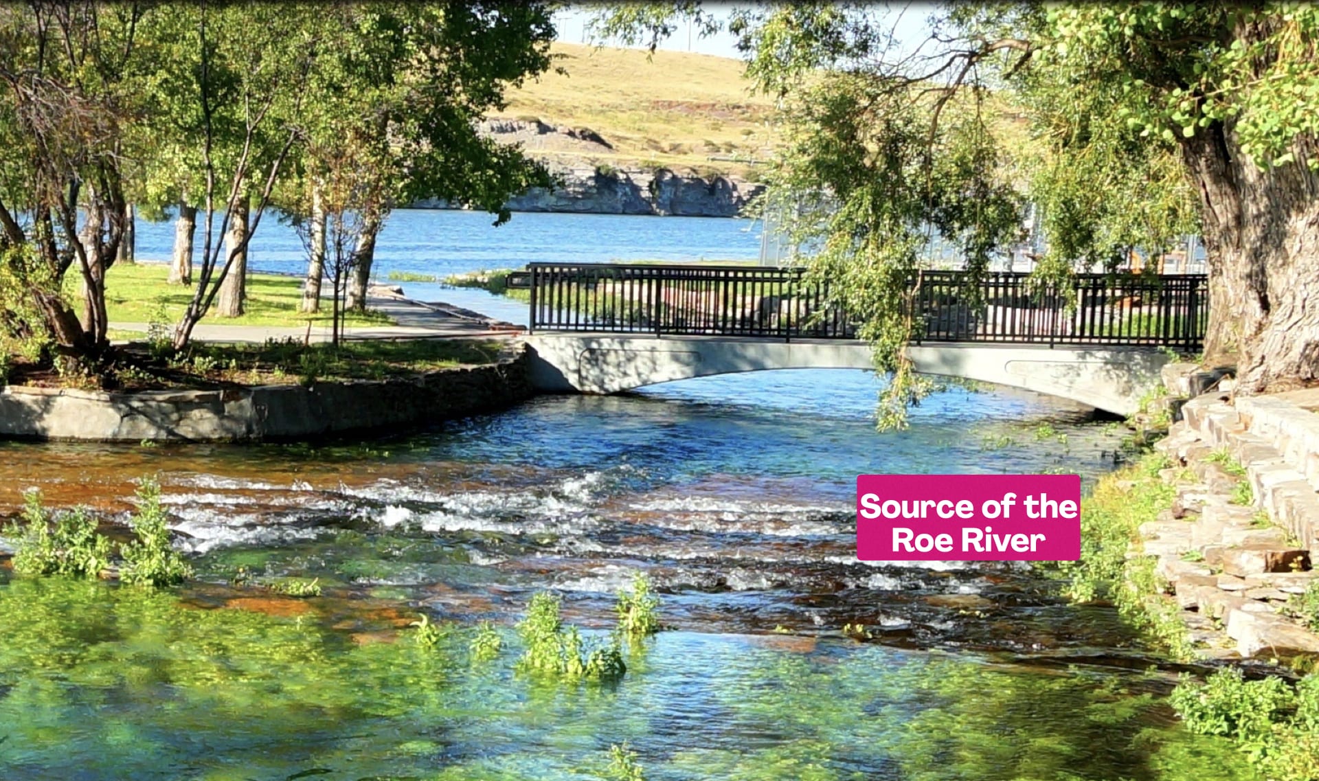
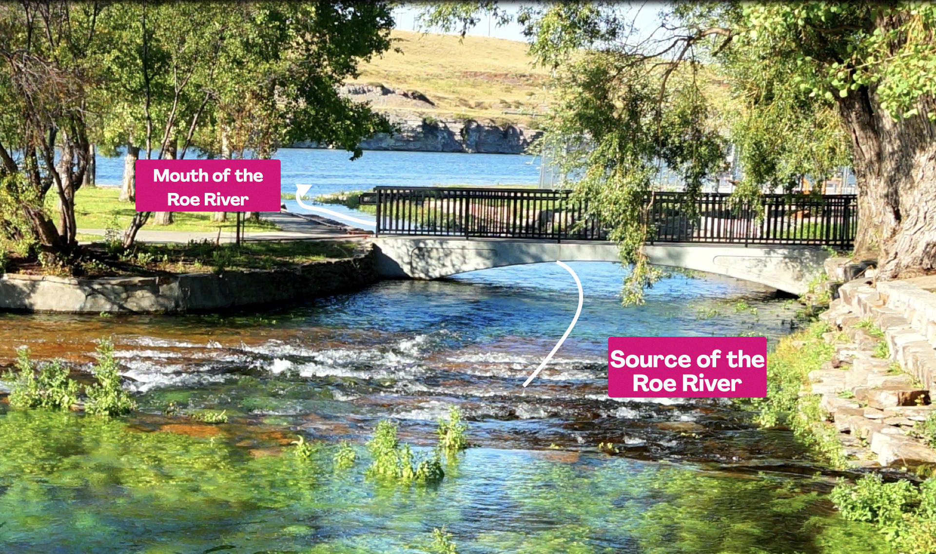
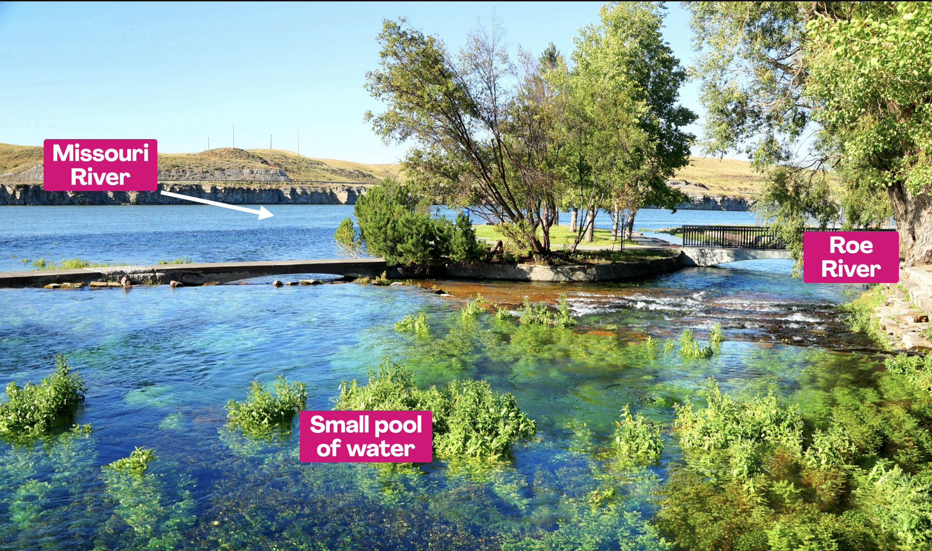
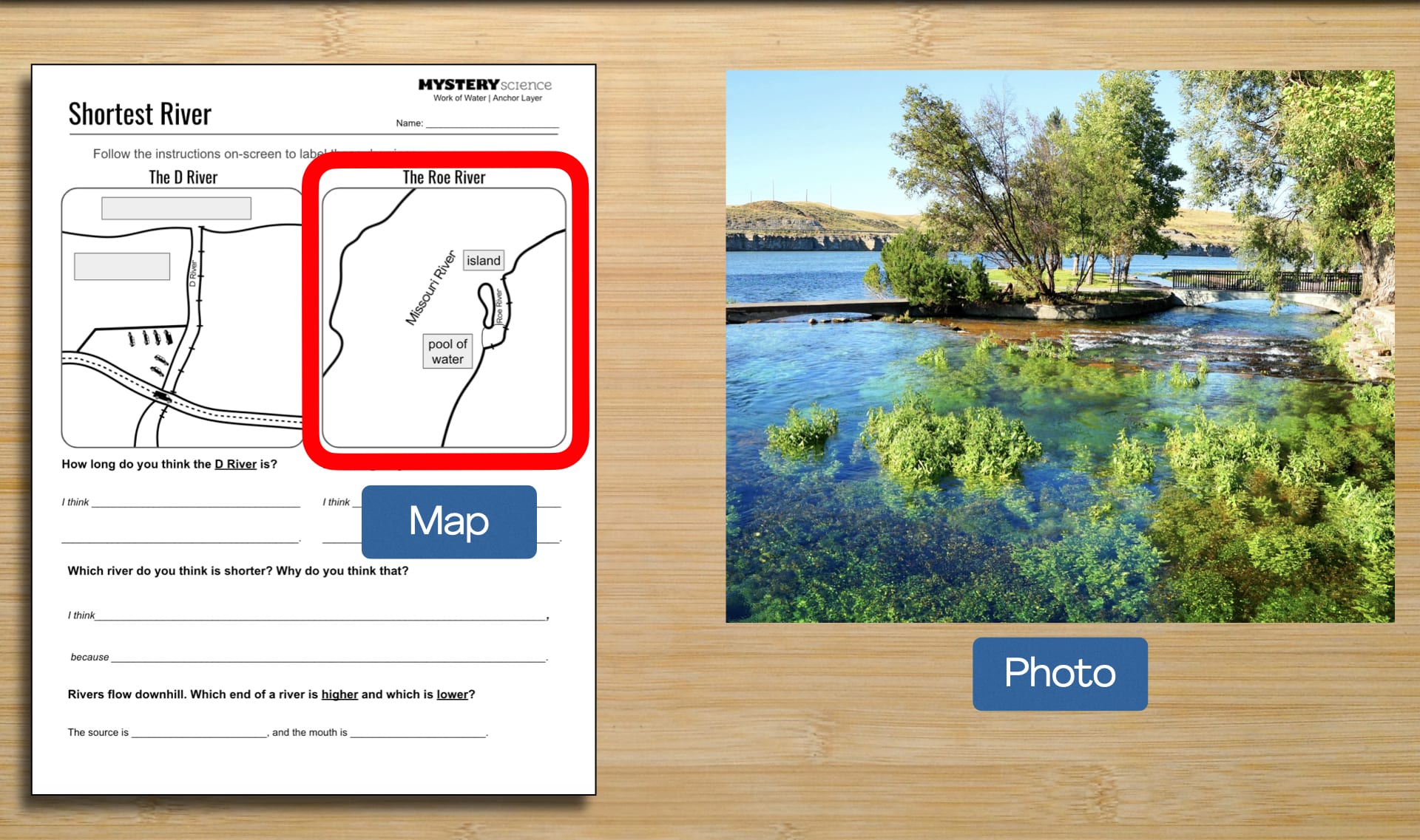
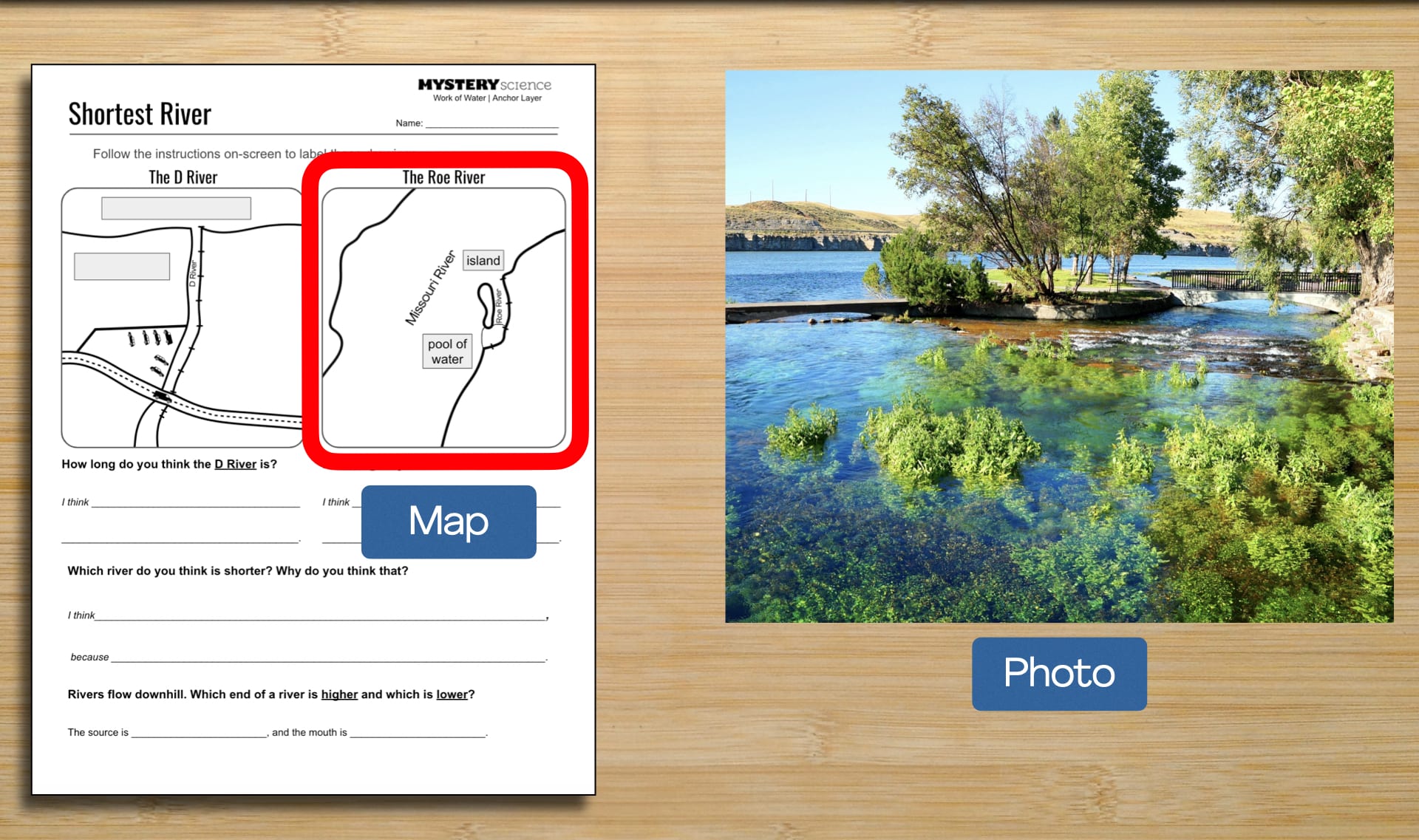
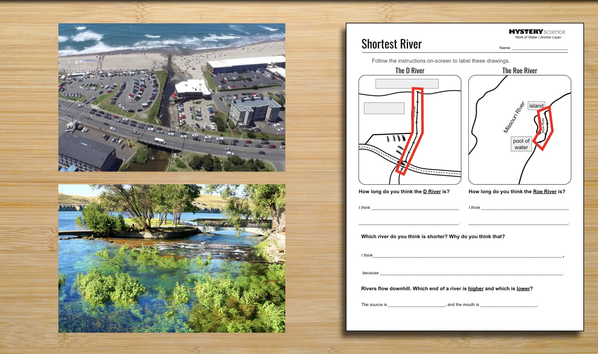
Giant Springs State Park by
Fouled Anchor Photography
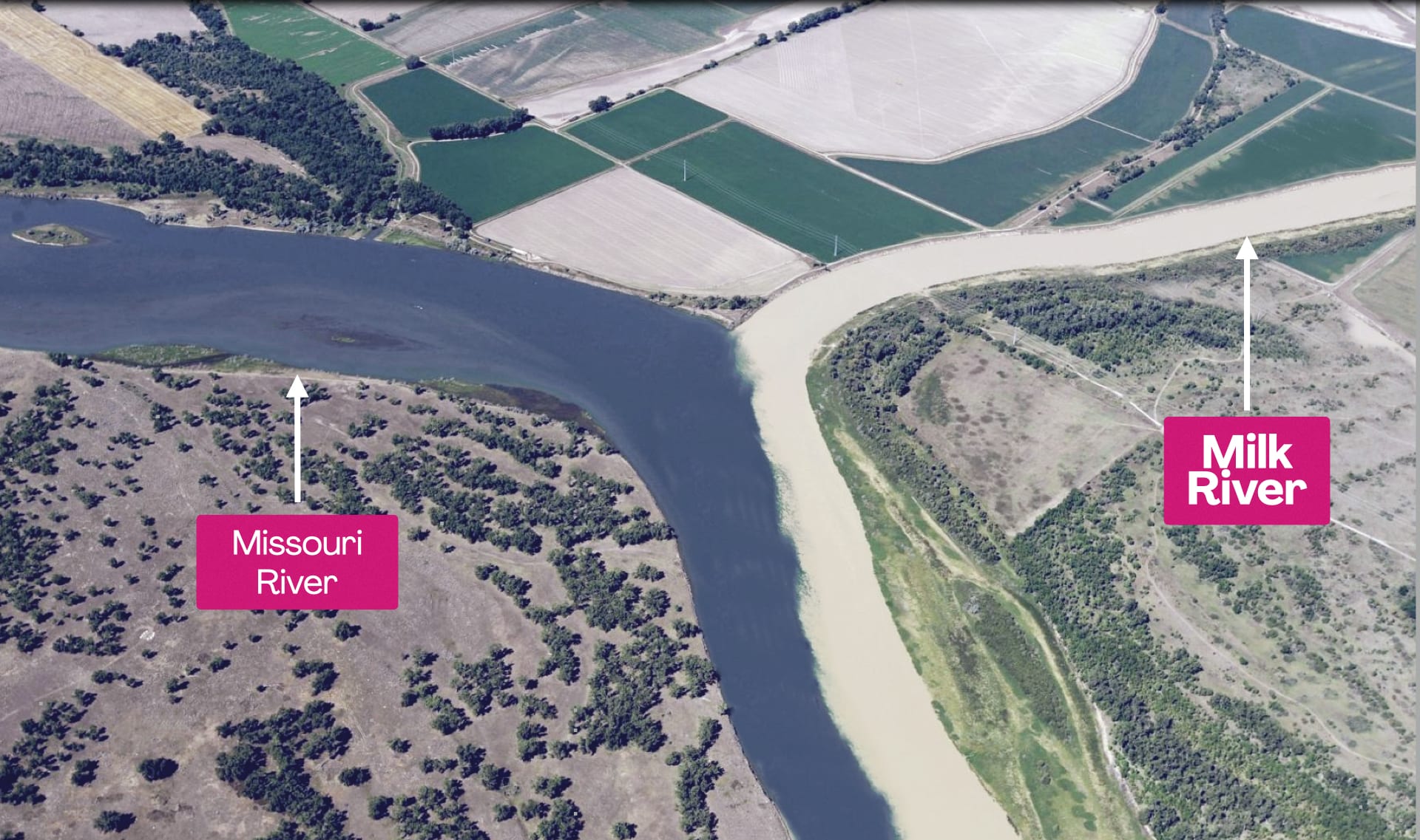
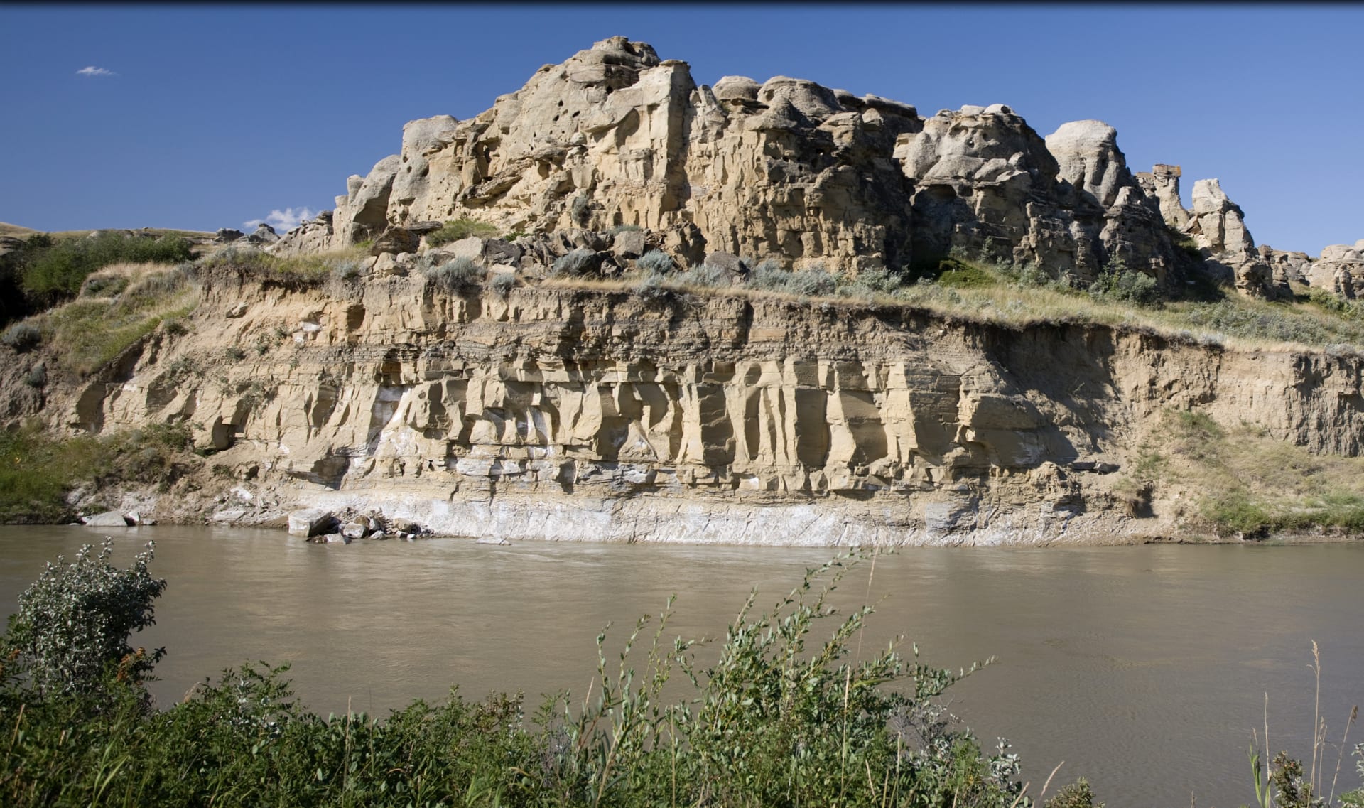
Milk River Alberta Badlands by
Pictureguy
River Video by
Mikko